01
Site progress capture
The same site on a schedule, captured the way your team will actually use it: 2D maps, 3D models, LiDAR, or photo and video. Progress claims that stand up.
The problem
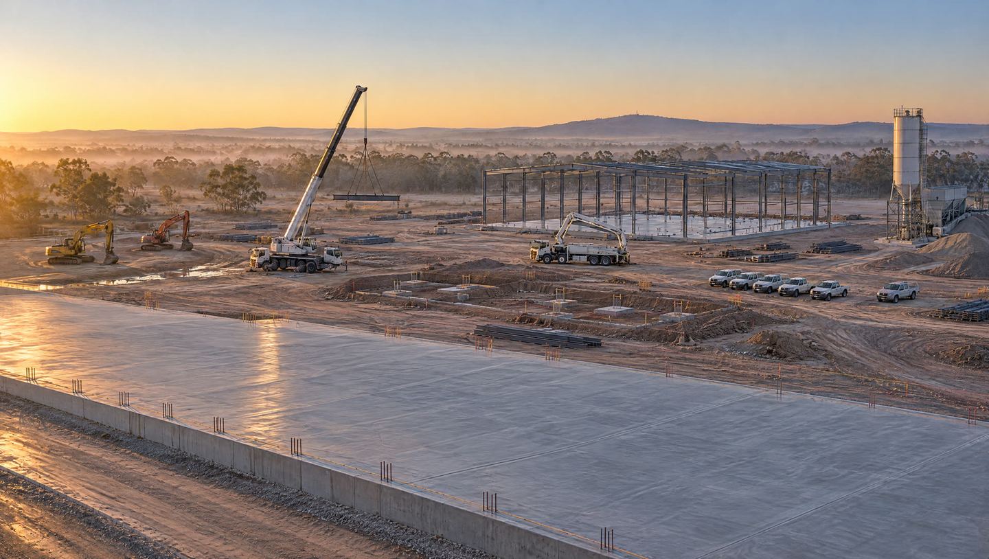
A flyover from the same positions every visit shows exactly what got built since the last claim. No arguing from memory, no phone photos from the ground.
Who it's for
Builders, civil contractors, developers and owner's representatives on jobs that run longer than a few months.
What I do
Before the first visit we settle the capture types below, then I set the flight plan and shot positions on site. After that I fly the same plan every time: weekly or fortnightly through earthworks and structure, monthly through fit-out, with a baseline flight at the start and a completion flight at the end.
Every visit, whatever you pick
- Dated, geotagged files named by visit, plus a browser link your team can open without software.
- A one-page visit sheet: date, weather, what was flown, what changed.
- The archive kept for the life of the job, so any visit can be compared with any other.
- Site rules respected: induction, exclusion zones and a notified flight window, every time.
Pick the capture type. Mix them if you need to.
Each one is a different mission with different questions to answer before I quote, so each has its own button. Most programs pair one map or model with photos. LiDAR usually comes in at baseline and through earthworks, then drops off once the structure is up. Whatever the mix, the flight settings get locked on the first visit and never change, so visit-to-visit comparisons show the site changing and not the camera. These are repeat visits on a program. For a single map, model or LiDAR capture, see Maps, 3D models and LiDAR.
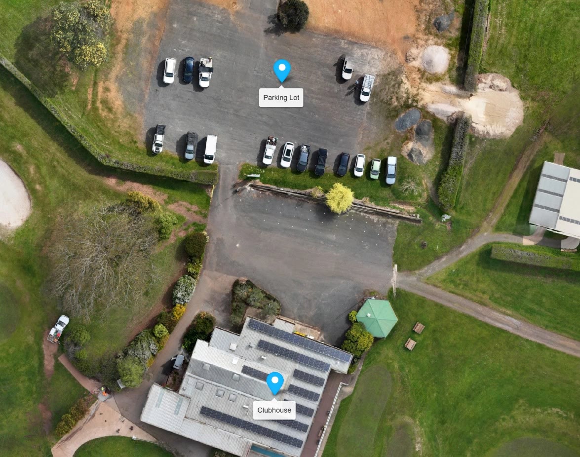
2D aerial maps
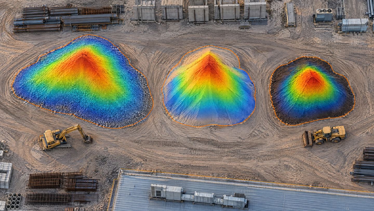
A measurable top-down map of the whole site, stitched from hundreds of overlapping photos. Best for progress claims, laydown and traffic planning, and marking up for subcontractors.
You receive
- A GeoTIFF and a browser link every visit, with distances and areas measurable on screen.
- Accuracy stated on the map. RTK positioning as standard.
- Files by download link, or into your project platform if you use one.
I'll ask you
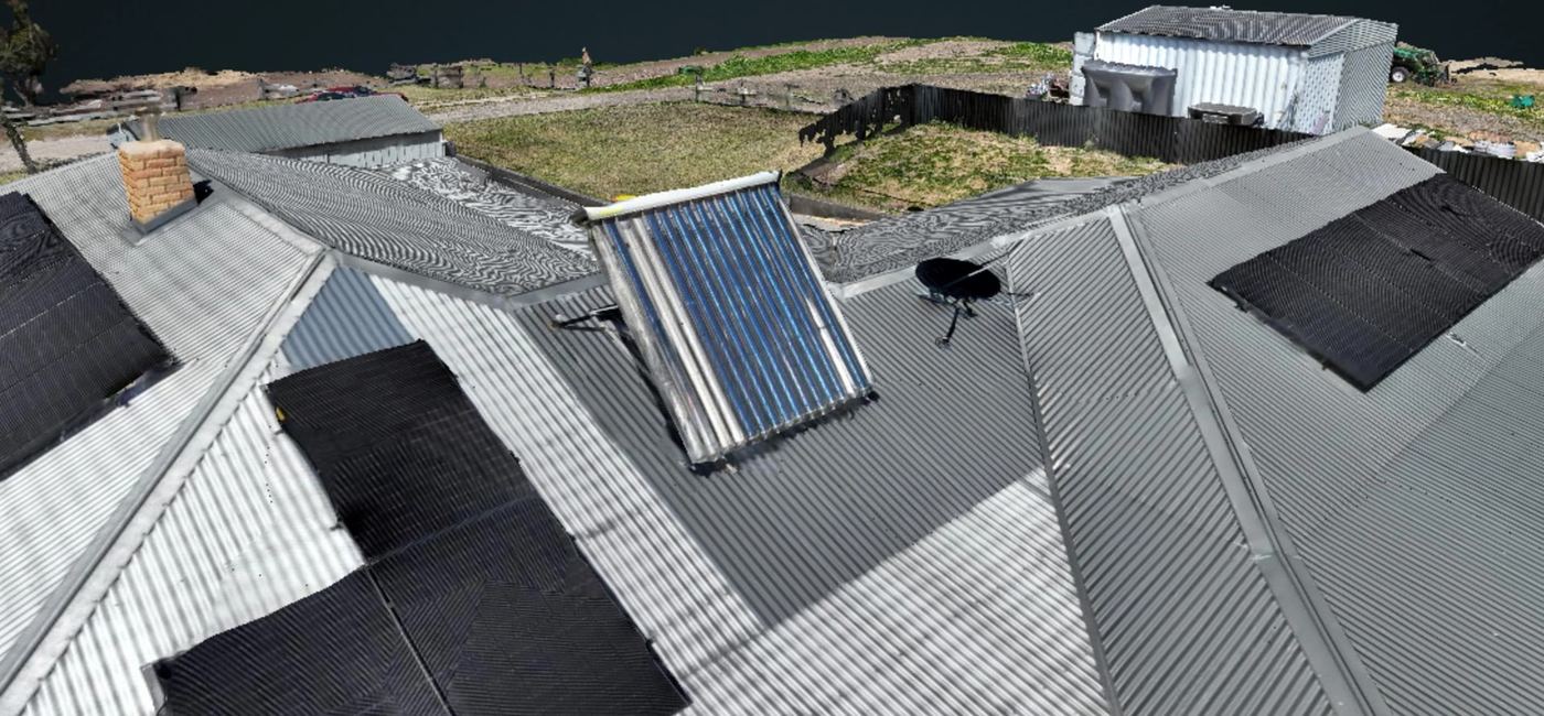
3D models
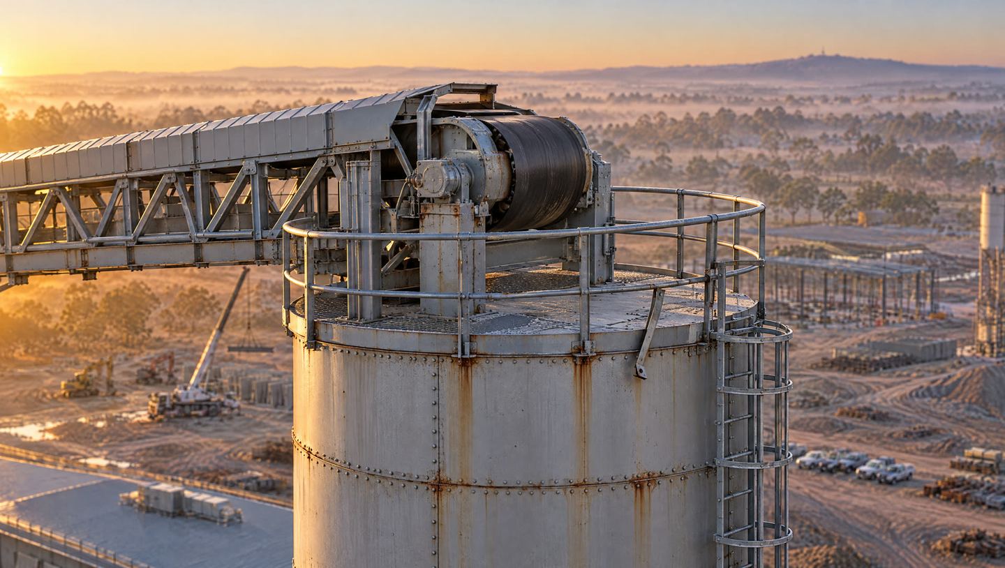
A textured model of the site you can spin around in a browser, slice, and compare visit to visit. Best for structure and facade progress, earthworks shape, and showing clients and investors.
You receive
- A browser link to the model every visit.
- Mesh and point cloud files (OBJ, LAS) for your own software.
- Visit-to-visit comparisons on request, with the changes marked.
I'll ask you
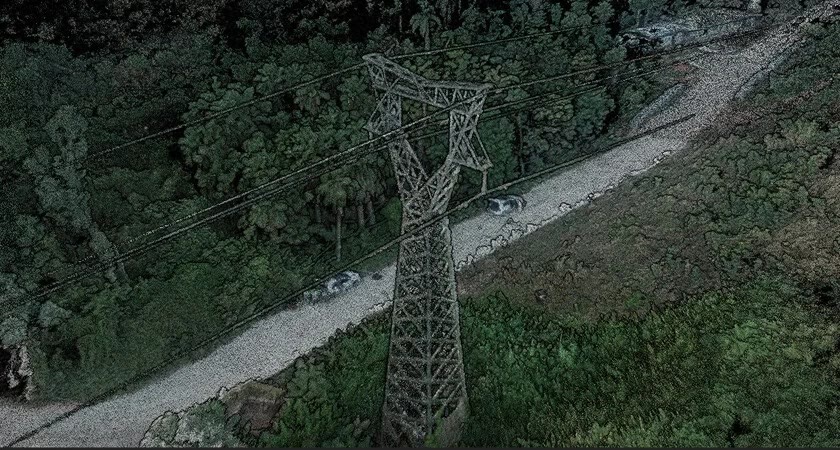
LiDAR
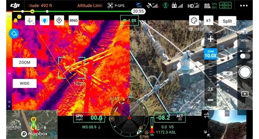
Laser capture from the Matrice 400 for ground hidden under vegetation, large bulk-earthworks areas and long corridors. Best for the baseline flight and each earthworks stage of a program.
You receive
- A classified point cloud as LAS or LAZ.
- A ground model and contours for the planning team.
- Cut and fill between visits. Planning-grade: certifying a quantity for payment is a registered land surveyor's job.
I'll ask you
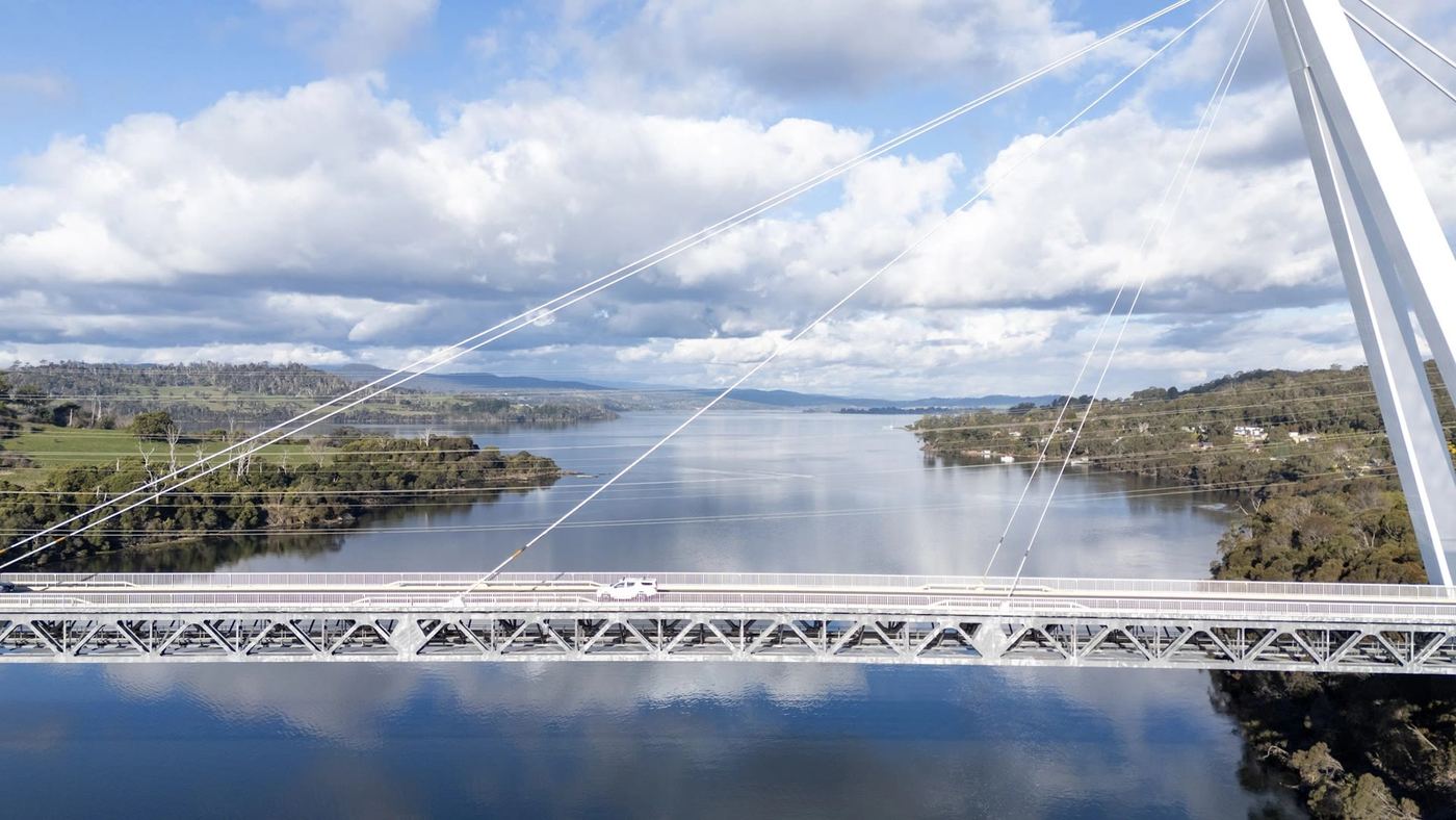
Photo and video
Numbered stills from fixed positions and a short edited clip every visit, cut into a time-lapse at handover. Best for progress reports, client and board updates, tenders and socials.
You receive
- Numbered stills, geotagged and time-stamped, from the same positions every time.
- A short edited clip plus the raw clips, with vertical cuts if you want them.
- A handover time-lapse and usage rights in writing.
I'll ask you
Pick what your team will open. A model nobody looks at is capture for the sake of it, and you'll pay for it every visit. If you're not sure, say so on the form and I'll suggest a mix for the stage you're at.