Some problems only show from up here.
Every sheet. Every flashing. Every join.
CASA ReOC 9638 · Launceston, Tasmania
Eyes on what you can't reach.
Drone imagery, progress capture and mapping for builders, sites and assets, under CASA ReOC 9638. Launceston based, flying Australia wide. One operator from first call to final record.
CASA ReOC 9638 · Launceston, Tasmania
Eyes on what you can't reach.
Drone imagery, progress capture and mapping for builders and asset owners, by one operator from first call to final record.
- CASA ReOC 9638
- Remote Pilot Licence to 25 kg
- $20M public liability
- Launceston based, flying Australia wide
- Matrice 4 Enterprise and Matrice 400 with LiDAR
What we put eyes on
Progress, volumes, roofs and plant. Up close.
Clear, dated, high-resolution images you can hand to a builder, an engineer, an insurer or a client. Not a glance from the ground.
- 01
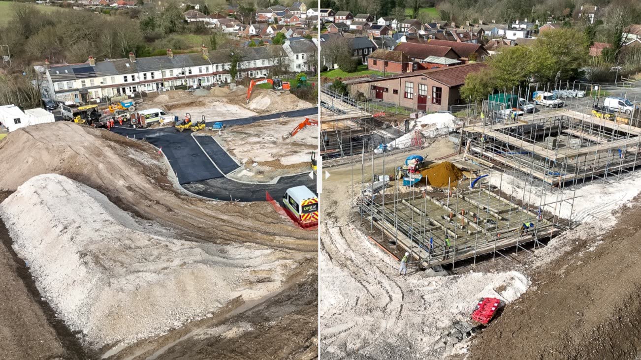
The same site on a schedule, as 2D maps, 3D models, LiDAR, or photo and video. Progress claims that stand up.
- 02
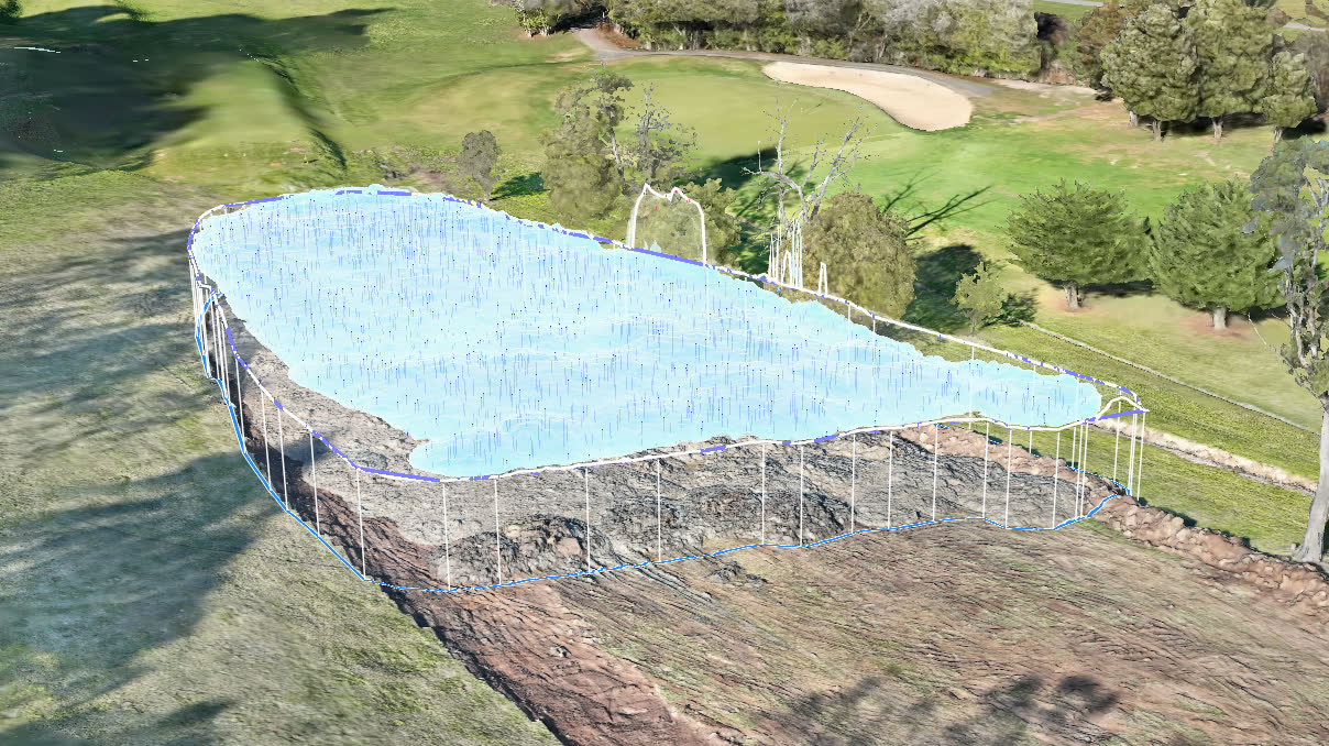
Measured volumes with the method written down, so you can reconcile what's on the ground.
- 03
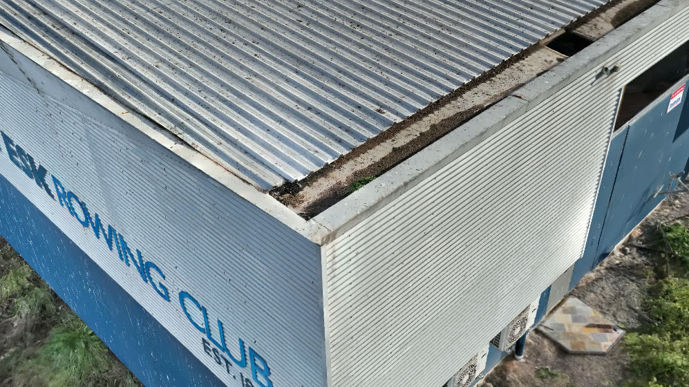
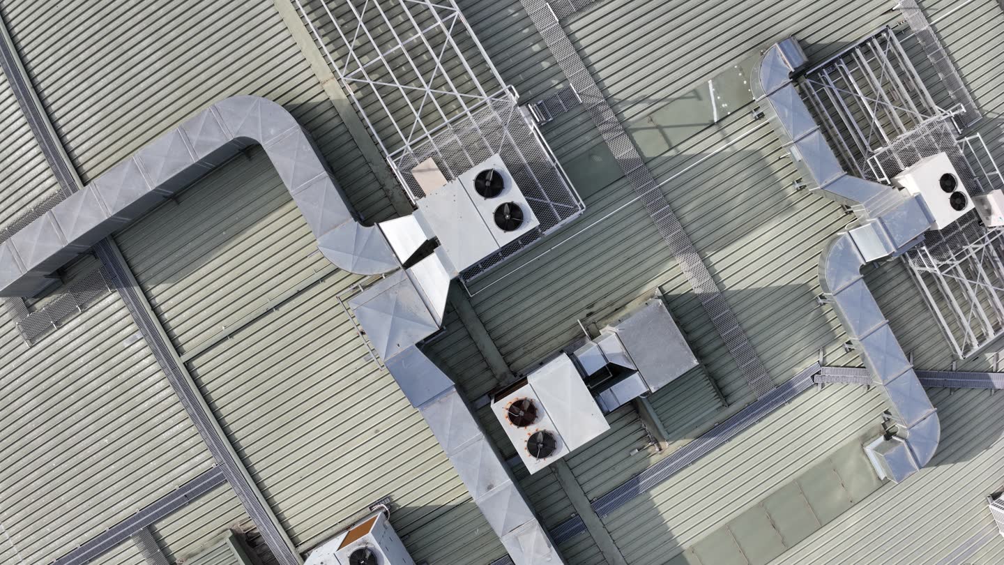
Close-up, located roof, gutter and facade imagery with notes on what's visible, for your roofer or engineer. No ladders, no scaffold, no boom lift.
- 04
Eyes on tanks, stacks, conveyors, wharves and towers without rope access, with a live feed to your engineer.
Two more on the services page: one-off maps, 3D models and LiDAR, and thermal imagery. Plus a place to ask for anything not on the list. See all six services or tell me what you need.
How a job runs
Four steps. One person the whole way.
01
You call or message.
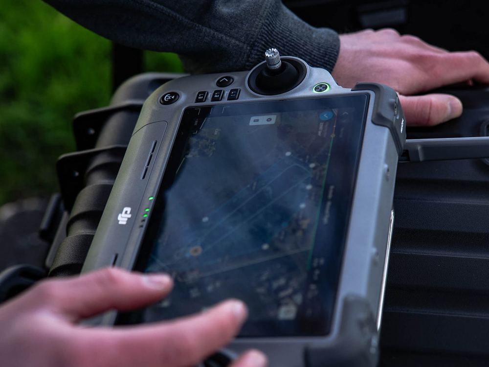
Tell me the address and what's worrying you. I check the airspace, the weather window and the neighbours' sightlines before I quote.
02
We set up properly.
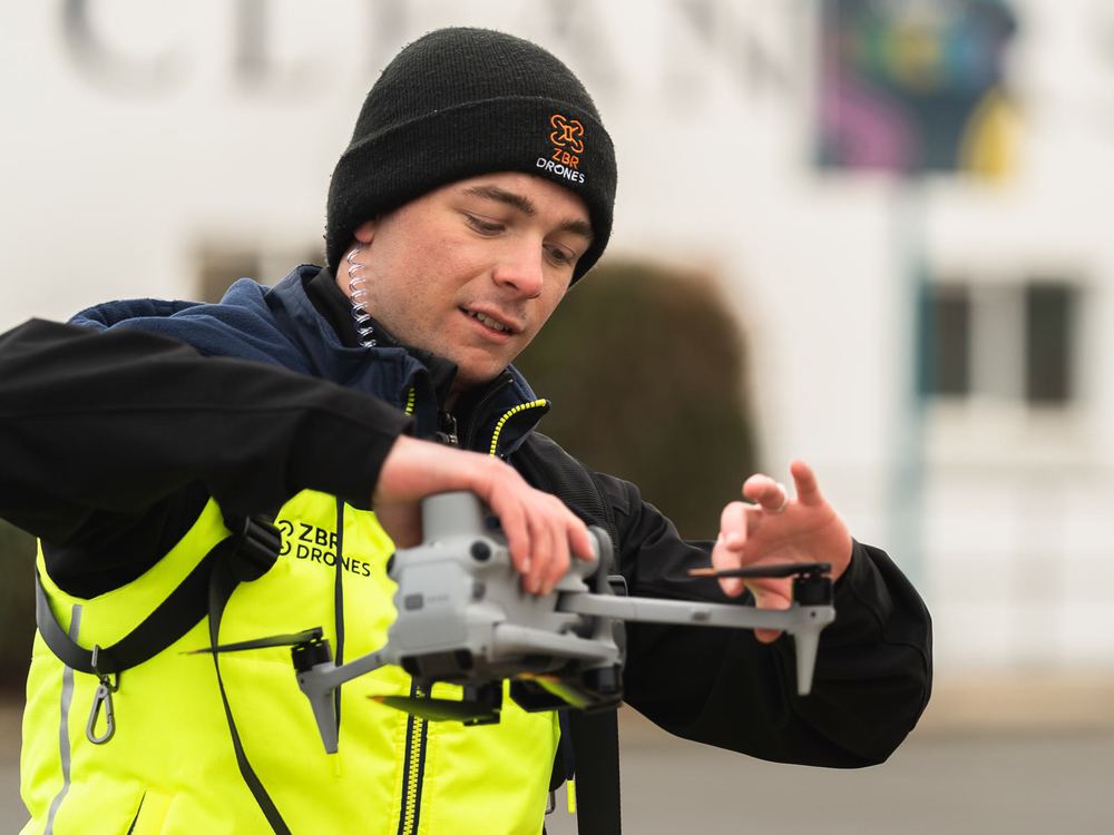
Signs out, radio on, a clear 30 metres kept from anyone not involved. Boring, but it's what keeps everyone safe.
03
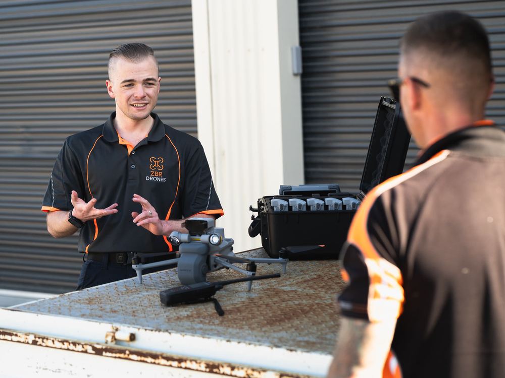
We fly, you watch.
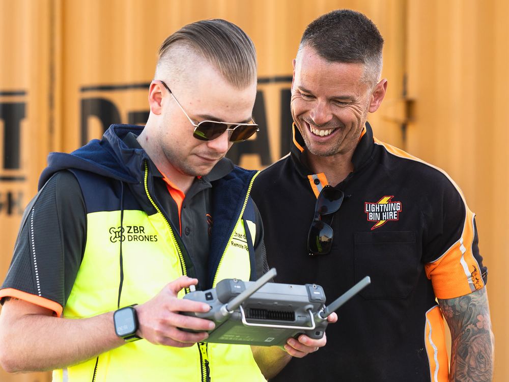
Stand next to me and see the site live on the screen. Point at anything you want a closer look at.
04
You get the report.
Dated, labelled photos and a plain-English summary, ready for a quote, a claim or a progress meeting. Turnaround is agreed when I quote.
Pre-flight check
Every flight starts the same way.
Press and hold to run the check I run before the aircraft leaves the ground.
Press and hold, or press Enter, to complete the pre-flight checklist.- Airspace checked
- Weather window clear
- 30 m from anyone not involved
- Aircraft and batteries checked
- Insurance current
Clear to fly.
 On-duty drone pilot
Who's flying
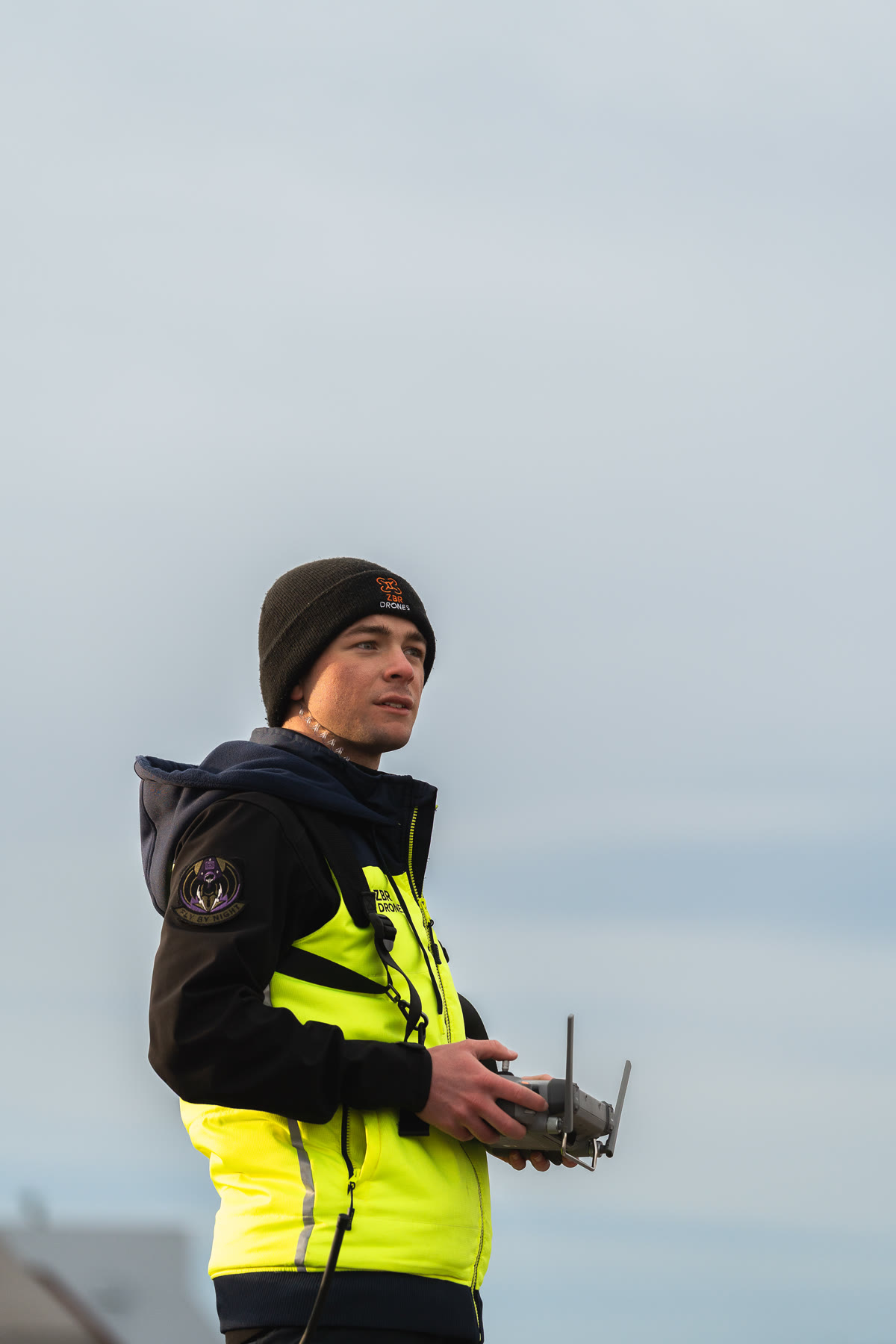
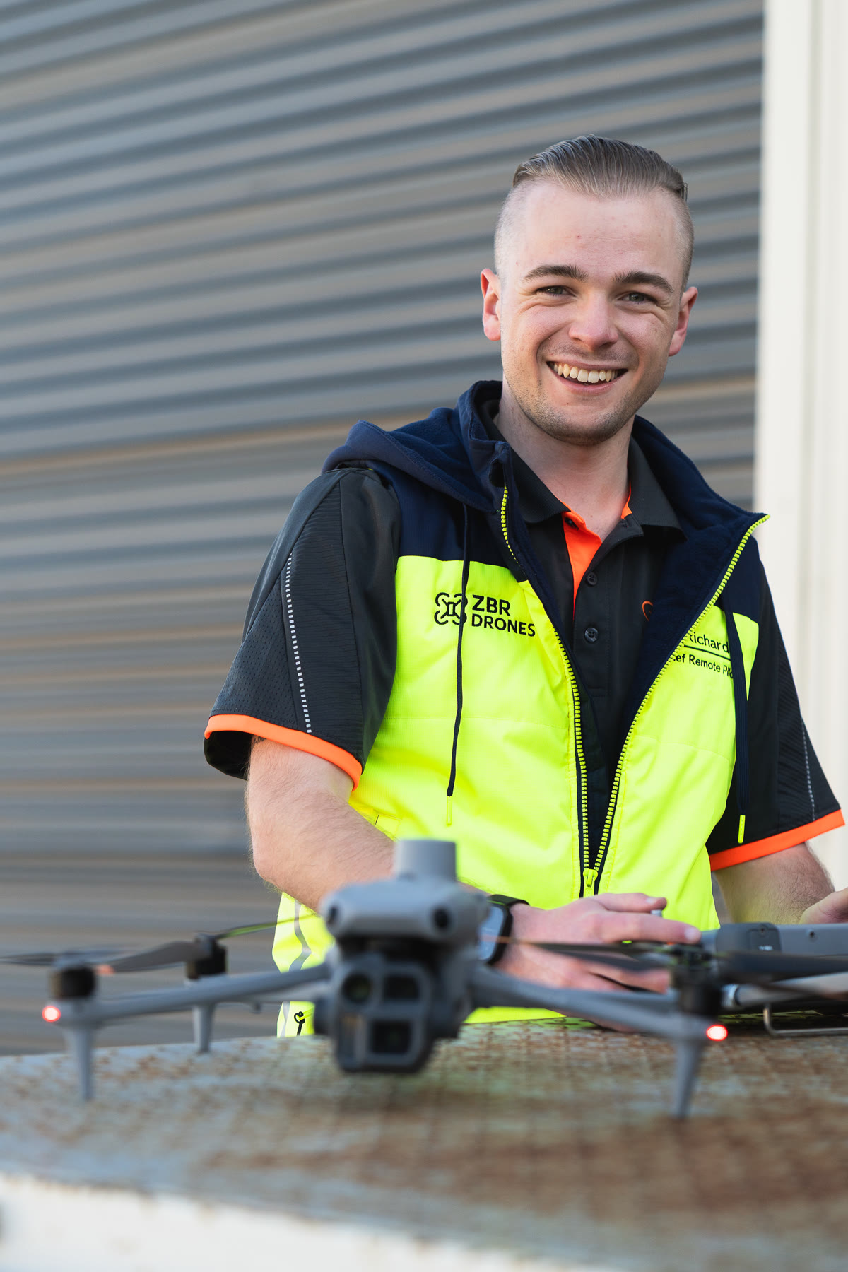
I'm Zak Benjamin Richardson. The Z, the B and the R.
ZBR Drones is me, Zak Richardson, a Launceston local who has worked in aviation and construction. I hold a Remote Pilot Licence rated to 25 kg and operate under CASA ReOC 9638.
You deal with one person, start to finish. No hand-offs, no lost details. The person who flew the job is the one who writes it up.
- ReOC 9638CASA operator certificate
- 25 kgRemote Pilot Licence
- $20MPublic liability
Your own team
Want drones in-house? We build the program with you.
For builders, utilities and site teams that would rather fly their own: the right hardware and software, set up on your site, with the licences sorted through our partner network.
Hardware and software
Supplied, specified for the job
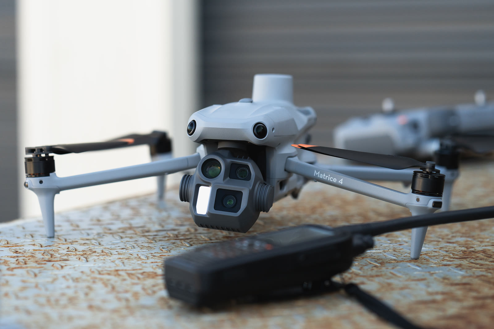
Enterprise aircraft, thermal and RTK payloads, batteries and cases, plus the mapping and imaging software that turns a flight into a record. We spec it for your work, not the catalogue.
Integration and set-up
Configured on your site
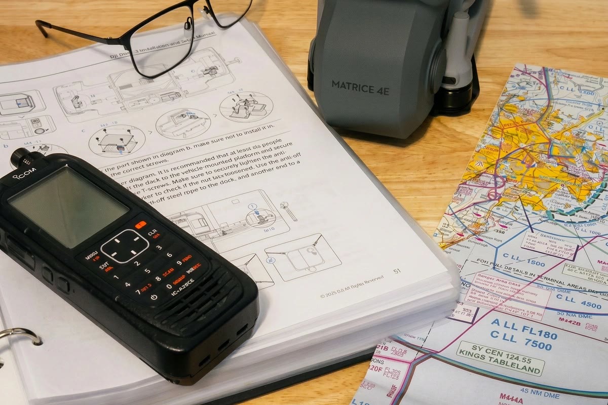
Aircraft, controllers, RTK and flight planning set up and tested where you work, with the imagery flowing into your reports and systems. Your crew flies as soon as their licences are in hand, and we stay on call after.
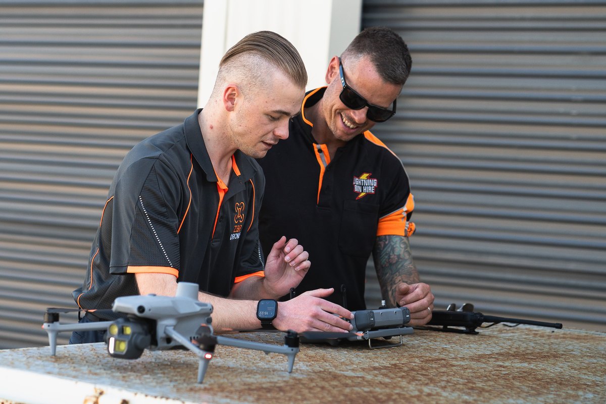
Licences through our partners
RePL and operator certificates
Remote Pilot Licences for your crew and an operator certificate for the business, delivered through our partner training organisations. We map out which approvals you need and stay with you to the first flight.
Already flying? Ask about scheduled health checks and support for the aircraft you have.
Who we work with
Builders, Developers, Project managers, Engineers, Roofers, Facilities and asset managers, Strata committees, Solar installers, Insurers and assessors, Councils
Straight answers
The questions people ask before they book.
Are you licensed and insured?
Yes. Remote Pilot Licence rated to 25 kg, CASA ReOC 9638, and $20 million public liability insurance for drone operations. Ask and I'll send the certificates.
Can you fly over an active site?
Yes, with planning. I keep 30 metres from anyone not involved in the flight, so we fly before the crew starts, during a break, or over a cordoned area. Most progress captures take under an hour on site.
Will the photos be detailed enough?
Yes. The Matrice 4 carries a wide, a zoom and a thermal camera, and I fly close with the zoom. You get full-resolution files you can zoom into, not screenshots.
Do you know what you're looking at?
I've worked in construction and aviation, so I know a lifted flashing from a shadow. For anything structural, the record gives your engineer or builder what they need to make the call. I describe what's visible. I don't diagnose it.
Do you do drone roof inspections?
I capture the roof close up, dated and located, with notes on what's visible. Deciding what matters and what to fix is the inspection, and your roofer, builder, engineer or licensed inspector does that from my record.
What exactly am I getting?
I'm a drone operator with a CASA operator's certificate (ReOC 9638), not a builder, building inspector, engineer or land surveyor. What I supply is not a building inspection, an engineering or structural assessment, an electrical test, a land survey or a certificate of compliance. You get dated, located imagery, measurements and plain notes on what the camera could see on the day. I don't rate how serious anything is, say what caused it, or say whether something is safe or compliant. Your licensed professional makes those calls from the record I give them. Every job starts with a written scope. Nothing here limits your rights under the Australian Consumer Law.
Do you do drone surveys?
I make maps, models and volume reports for planning, progress and stocktakes, and I label them that way. Boundaries, design levels and certified quantities are a registered land surveyor's job. If that's what you need, I'll point you to one.
How accurate are the maps and models?
It depends on the job and the ground control used, so every mapping report states the method and the expected accuracy rather than one headline number. A surface model shows what the camera can see; it can't prove what's buried or hidden.
What does thermal actually prove?
It shows temperature differences, which point to moisture, heat loss or a failing panel. It doesn't prove the cause on its own, so I flag anomalies for a hands-on check before anyone orders repairs.
What about the neighbours?
I plan sightlines before I arrive, keep 30 metres from anyone not involved, and point the camera at your site, not theirs. If a neighbour has questions I'll talk to them.
What if it's windy or raining?
Then we move it. Launceston weather changes fast, so I book a window, watch the forecast and call you the day before if it looks marginal. No charge to reschedule.
Can you fly near Launceston Airport?
Often, yes. Parts of the city sit inside the airport's control zone, so I arrange the approvals before the flight. That's my job to sort, not yours.
Do you work with site safety systems?
Yes. I operate under my ReOC operations manual, do a site-specific risk assessment for every job, and sort your contractor paperwork and site induction before the first flight.
Get eyes on it
Tell me what needs looking at.
A roof, a site, a structure, or a team that wants its own drones. Send the details. I'll call to start the conversation and follow up by email within one working day.
Sent. I've got it.
I'll call you to start the conversation, then follow up by email within one working day. If it can't wait, call 0480 219 407.
That didn't go through.
No harm done. Send it by email instead (your details are filled in), or call 0480 219 407.
- Based
- Tasmania. Flying Australia wide.
- Hours
- Mon to Sat, weather permitting.