From our customers
See why our clients love coming home. From custom builds to stunning renovations, hear firsthand how we bring dream homes to life with quality craftsmanship and personalized service.
Frequently Asked Questions
Find answers to common questions about building, renovating, and designing your perfect home. We’re here to help every step of the way.
The timeline for a custom home build typically ranges from 8 to 14 months, depending on the complexity of the design and permitting process. We’ll work with you to create a realistic timeline and keep you updated every step of the way.
While we encourage finalizing decisions before construction, we understand that changes happen! Minor adjustments can usually be accommodated, but major changes may affect timelines and costs. Our team will guide you through any options and impacts.
Yes, all of our work is backed by a comprehensive warranty to give you peace of mind. We cover labor and materials for a specified period, and we’ll provide a detailed warranty package upon project completion.
Let's talk about your next project
Click the button to fill out a form or give us a call to set up a free in-home consultation.
Custom Drone Solution Contact form
Let's create the reality of your drone dream!
2D Aerial Mapping Contact form
Let's capture your sitewith cyrstal clarity!
2D Aerial Mapping Contact form
Let's capture your sitewith cyrstal clarity!
Back End Service Creation
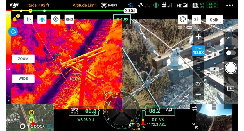
Thermal Imaging
Need to assess the thermal efficiency of your assets on a thermal level?
Using the latest Matrice 4 Thermal drone, ZBR Drones is able to provide thermal imaging for clients and contractors that need accurate thermal data. The other benefit, we can inspect hard to reach areas that would cause roadblocks with ground based thermal cameras.
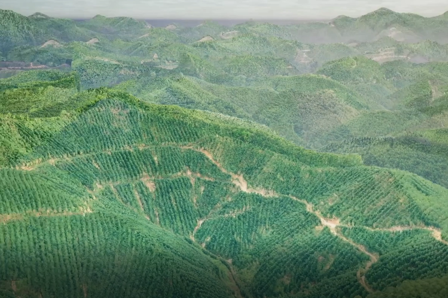
LiDAR Mapping
Using the DJI Matrice 400 and DJI L3 LiDAR sensor, ZBR Drones is ready to transform your site into actionable data.
LiDAR data allows for the mapping of land, structures or assests and create a digital replica of them. These dataset can then be used for accurate quoting by contractors, asssessment of the land, rapid progress monitoring, full detail site assessment and more.
LiDAR even allows us to see the ground under vegetation, this means we can collect accurate data of the real area below a tree canopy; allowing design and coordination teams to start their work before any tree or earthwork is begins.

From the Founder of ZBR Drones
I started the business with the goal to make professional drone services easy to access and the outputs easy to use.
Capturing aerial data is only part of the job. The real value comes from turning that data into clear, usable deliverables that support real decisions. My focus is on end to end aerial data capture and delivery, from collecting the data through to sharing it in practical formats such as maps, models, CAD files, and tailored outputs to suit your needs.
ZBR Drones is built around providing a complete, professional aerial data solution, designed to fit seamlessly into your workflow, not complicate it.
— Zak